
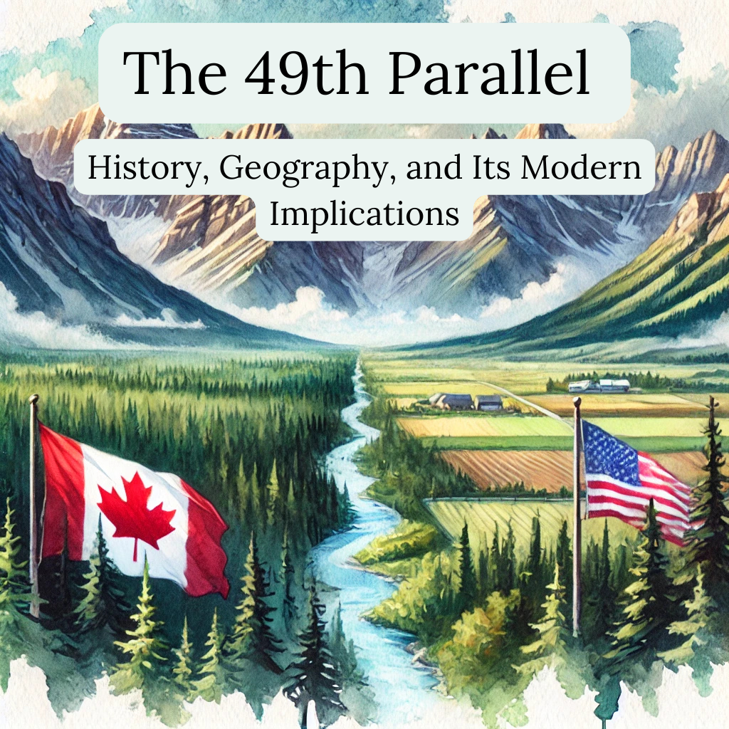
The 49th parallel marks a key boundary between the U.S. and Canada, stretching from the Pacific Ocean to Minnesota’s Lake of the Woods. It isn’t just a line on a map—it’s a product of treaties, negotiations, and geopolitical strategy.
In 1818, Britain and the U.S. set this latitude as the border from Lake of the Woods to the Rockies. The 1846 Oregon Treaty extended it to the Pacific, leaving Vancouver Island under British control. Though tensions flared, like the 1859 Pig War, diplomacy kept the peace.
This border is the longest undefended in the world, shaping trade, security, and culture. Millions cross yearly for business, tourism, and opportunity. While post-9/11 security tightened, cooperation remains strong.
Surveyors faced rugged terrain, yet the border held firm. Today, it symbolizes diplomacy done right—a testament to history, geography, and mutual respect. The 49th parallel isn’t just a boundary; it’s a bridge between two nations, proving that good fences really do make good neighbors..
What is the 49th Parallel?
 alt="Crossing the 49th Parallel: History, Geography, and Its Modern Implications" />
The 49th parallel is a significant circle of latitude located 49 degrees north of the Earth’s equatorial plane. This line, stretching across the globe, is situated halfway between the Equator and the North Pole.
Its most notable portion serves as the international boundary between Canada and the United States. It extends from the Pacific Ocean in the west to the eastern edge at Lake of the Woods in Minnesota. This division is more than just a geographic marker; it represents a long history of peaceful coexistence.
What is the Historical Significance of the 49th Parallel North in Shaping the Canada-U.S. Border?
The 49th parallel North is significant in North American history as the primary international boundary between Canada and the United States. This line of latitude shapes the relationship between the two nations and reflects a story of diplomacy, geography, and cultural impact. Below, you’ll find a clear and factual exploration of its history, presented in an informative and positive tone.
Key Historical Events
- 1714: The Hudson’s Bay Company proposes the 49th parallel as a boundary between British and French territories.
- 1818 (Anglo-American Convention): Following the War of 1812, the U.S. and Britain agree to set the border from Lake of the Woods to the Rocky Mountains along the 49th parallel.
- 1846 (Oregon Treaty): The boundary is extended westward to the Pacific Ocean, resolving the Oregon boundary dispute.
- 1859 (Pig War): A minor conflict over a shot pig near the San Juan Islands highlights border tensions but is resolved peacefully.
49th parallel line between which country
The 49th parallel is the boundary line between the United States and Canada. This parallel of north latitude forms a key part of the international border between the two countries, marking the separation between Canadian provinces and U.S. states.
Key Facts about the 49th Parallel:
The 49th parallel is the longest undefended border in the world, stretching for 5,525 miles (8,891 kilometers).
It is often referred to informally as the border between the U.S. and Canada.
The boundary is defined by the 49° N latitude, running across several Canadian provinces and U.S. states.
How Was the 49th Parallel Established as the U.S.-Canada Border?
1. Setting the Stage: Early Tensions and Negotiations
Before the 49th parallel became a recognized border, the western territories of North America were highly contested. Spain, Britain, France, and Russia each laid claim to different parts of the continent. After the American Revolution, tensions between Britain and the newly formed United States remained unresolved, especially as settlers continued expanding westward. These early conflicts set the stage for later negotiations.
2. The 1818 Treaty
In 1818, the 49th parallel officially became part of the U.S.-Canada border. This alignment resulted from a diplomatic agreement called the Treaty of 1818. Signed by Britain and the United States, the treaty aimed to prevent territorial conflicts and define a clear boundary line.
Both nations agreed to establish the 49th parallel as the border between the U.S. and British North America (now Canada), extending from the Lake of the Woods westward to the Rocky Mountains. The line was chosen for its practicality, as it provided a convenient and straight boundary, helping to reduce disputes over land.
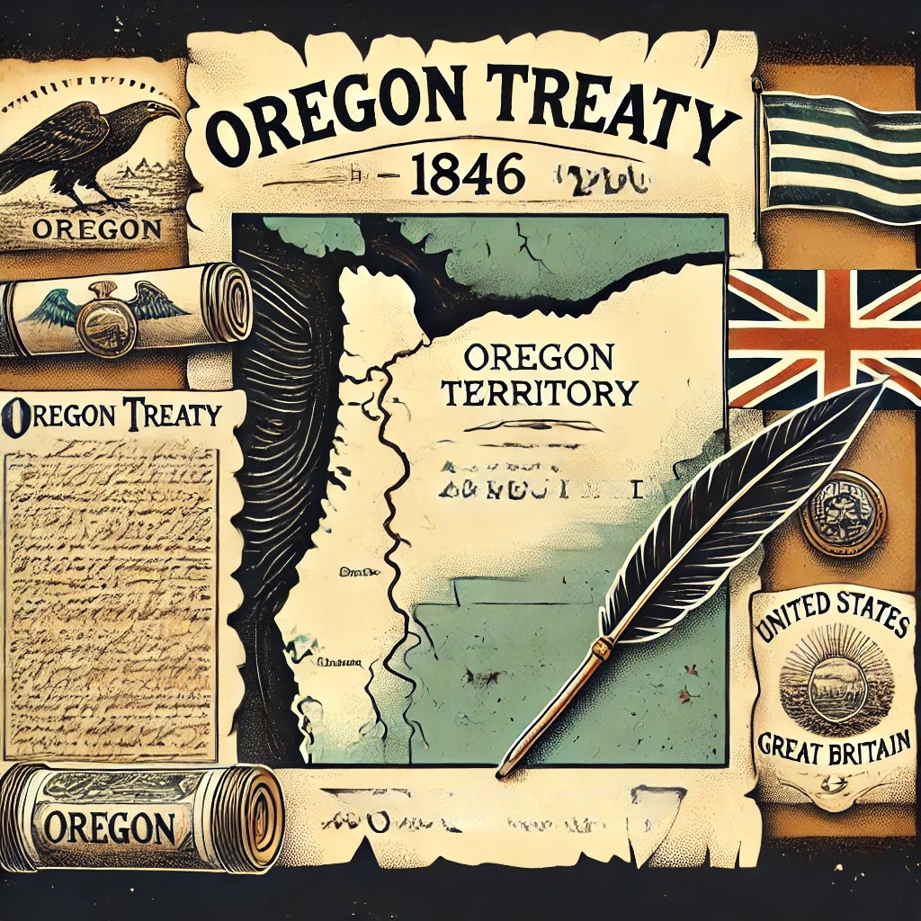
3. The Oregon Treaty of 1846
 alt="Oregon Treaty Image" />
Though the Treaty of 1818 established the 49th parallel as the western border, it only extended to the Rocky Mountains. The land beyond, known as the Oregon Country, was claimed by both the British and Americans. In 1846, the Oregon Treaty was signed, which extended the 49th parallel westward to the Pacific Ocean.
Notably, the border took a detour around Vancouver Island, allowing the whole island to remain under British control. This treaty solidified the 49th parallel as the main border between the two nations across the continent.
When Was the 49th Parallel Established?
The 49th parallel was established as a key international border between the United States and Canada through diplomatic agreements between the U.S. and Britain. This boundary plays a significant role in defining the U.S.-Canada border, particularly in the western regions, as explored in the history of the U.S.-Canada border. Its establishment occurred through two key historical agreements:
Key Treaties Establishing the 49th Parallel
- 1818 (Anglo-American Convention of 1818)
- The initial border agreement sets the 49th parallel as the boundary from Lake of the Woods (east) to the Rocky Mountains (west).
- This resolved territorial disputes following the War of 1812.
- 1846 (Oregon Treaty)
- Extends the 49th parallel border westward to the Pacific Ocean, settling competing U.S. and British claims over the Oregon Territory.
- Signed on June 15, 1846, this treaty finalized the modern U.S.-Canada boundary in the West.
Why is the 49th parallel the border (between the US and Canada)?
The 49th parallel serves as the border between the United States and Canada due to a series of historical agreements and treaties that shaped its establishment. The boundary is drawn along the 49th parallel from Lake of the Woods in the east to the Strait of Georgia in the west. Several key events led to this decision, making it a straightforward and agreed-upon solution for both nations.
The choice of the 49th parallel as a border was both practical and symbolic. It provided a simple, horizontal line that was straightforward to draw and maintain.
This choice allowed me and others involved to easily demarcate the land and limit disputes. The decision also meant a fair division of territory between the nations, which allowed for westward expansion without constant conflict.
Despite its simplicity, drawing a border along the 49th parallel wasn’t easy. The land includes plains, mountains, and everything in between, complicating the task. Surveyors, including those on my team, faced many obstacles, like harsh weather, as they worked over several decades to accurately map and mark this boundary.
Why Is the 49th Parallel Important for Trade, Security, and Diplomacy?
alt="" />The border at the 49th parallel stands as a unique testament to the collaboration between the United States and Canada. This line isn’t merely a geographical marker; it is a dynamic hub of interaction. Every year, millions cross this border for tourism, business, and trade, highlighting its crucial role in our economies.
Economic Exchange
- Trade: The U.S. and Canada have a strong trade relationship, facilitated by this border.
- Tourism: Millions of tourists cross annually, contributing to both countries’ economies.
Cultural Exchange
- The 49th parallel promotes a robust exchange of cultures. The flow of people helps both nations to share and celebrate diverse cultural ideas and values.
- This exchange strengthens ties and fosters mutual respect.
Security and Cooperation
Security measures have increased, especially after 9/11. Despite this, the border still allows relatively free movement. This balance of security and openness reflects the dedication to maintaining a productive and safe partnership.
Symbol of Diplomacy
The 49th parallel is more than a simple line dividing territories. It symbolizes our commitment to diplomacy and cooperation. Its creation in 1818 marked the beginning of a long history of peaceful coexistence between our nations.
Countries often face shifting political dynamics, but the steadfastness of this border is a reminder of what diplomacy can achieve. Its endurance through centuries of change speaks to the strength and resilience of our relationship.
In navigating the complexities of this border, 49th Parallel Wealth Management offers support for cross-border needs. They are dedicated to ensuring that transitions across the 49th parallel are as seamless as possible.
Where Is the 49th Parallel on a Map?
The 49th parallel north is a circle of latitude positioned 49 degrees north of Earth’s equator. It serves as a significant geographical marker, extending across multiple continents, including Europe, Asia, the Pacific Ocean, and North America.
What is the significance of the 49th parallel?
The 49th parallel is an important geographical, historical, and political feature, especially in the context of the United States and Canada. It serves as a boundary line that separates these two countries over a distance of approximately 1,260 miles.
Geographical Significance:
The 49th parallel is a circle of latitude located 49° north of the Earth’s equator. It spans across multiple continents, including Europe, Asia, the Pacific Ocean, and North America. This wide reach makes it a key reference point for geographical studies and international boundaries.
Frequently Asked Questions
What is the 49th Parallel Line?
The 49th parallel is a circle of latitude situated 49 degrees north of the Earth’s equator. It plays a crucial role in defining a significant portion of the international boundary between Canada and the United States.
Is the 49th Parallel an Open Boundary?
The 49th Parallel serves as a significant international boundary between the United States and Canada. It extends for approximately 1,260 miles and is recognized as the longest undefended international boundary in the world. While it is largely unfortified, it is not considered an open boundary because legal crossings are required at designated points.
What historical events led to the establishment of the 49th parallel as a boundary?
The 49th parallel became a boundary due to tensions and negotiations between the United States and Great Britain in the 19th century. The Oregon Treaty of 1846 was a significant event that established this boundary line. This treaty was essential in settling disputes over territories in North America.
How does the 49th parallel illustrate the concept of antecedent boundaries in political geography?
The 49th parallel is an example of an antecedent boundary. An antecedent boundary is one that is drawn before significant settlement occurs. This line was set before most people lived there, making it a logical choice to separate territories without much conflict.
What were the main outcomes of the war that resulted in the demarcation of the Canada-U.S. border along the 49th parallel?
The War of 1812 played a role in the drawing of boundaries, ultimately leading to peaceful negotiations over the border. The final demarcation through the Oregon Treaty helped in preventing future conflicts and clarified territorial claims for both nations.
How has the boundary along the 49th parallel affected United States and Canadian relations over time?
This boundary has been a symbol of peaceful coexistence and cooperation between the two countries. It stands today as one of the most successful and enduring boundaries in the world, reflecting strong diplomatic ties and mutual respect.
What are some current geopolitical implications of the 49th parallel for both the United States and Canada?
Today, the 49th parallel remains significant for trade and immigration policies. It serves as a vital checkpoint for the movement of goods and people and continues to play a strategic role in North American geopolitics.
In what ways does the 49th parallel impact the environmental and economic landscape of the bordering regions?
The regions along the 49th parallel share diverse ecosystems and economic resources. The boundary impacts land use, conservation efforts, and economic activities such as cross-border trade and tourism, emphasizing the interconnectedness of environmental and economic policies.